792346-diaporama
792345-diaporama
792344-diaporama
792343-diaporama
792342-diaporama
792341-diaporama
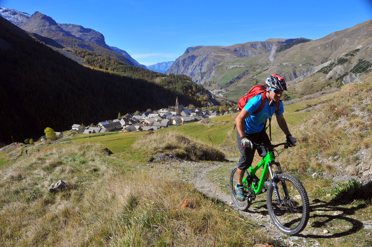
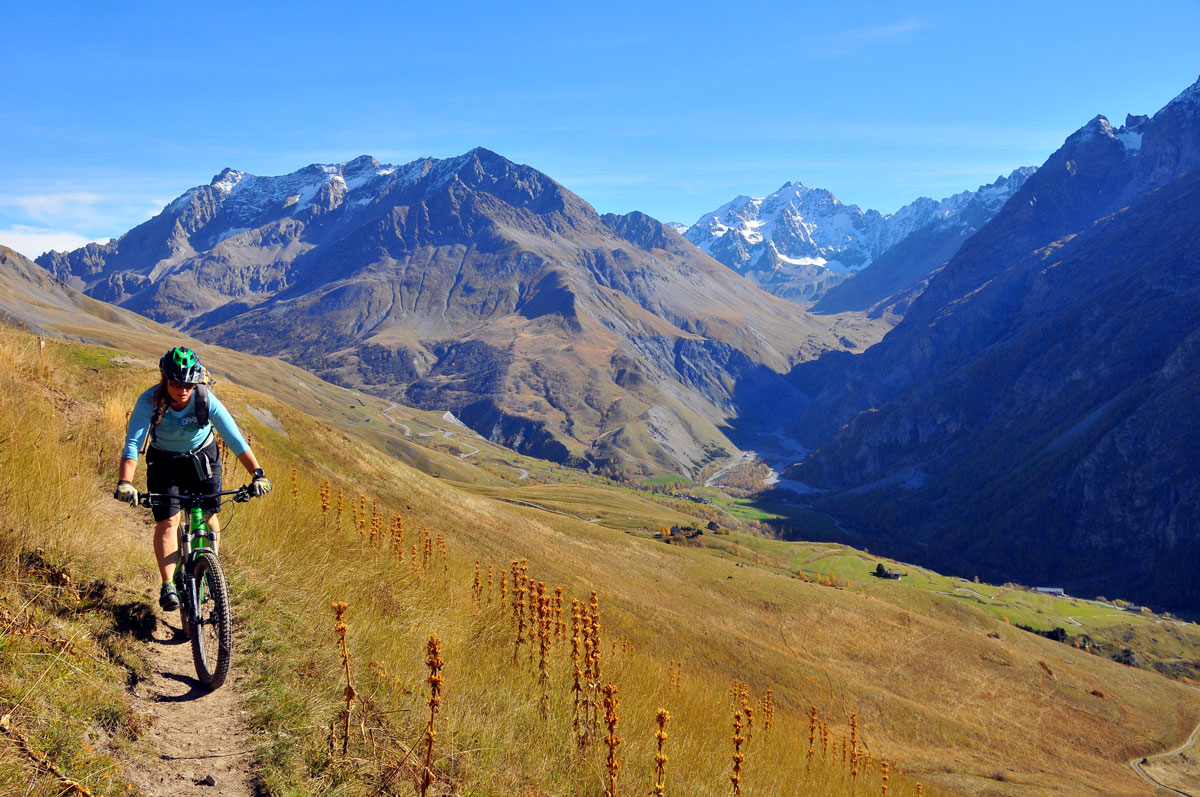
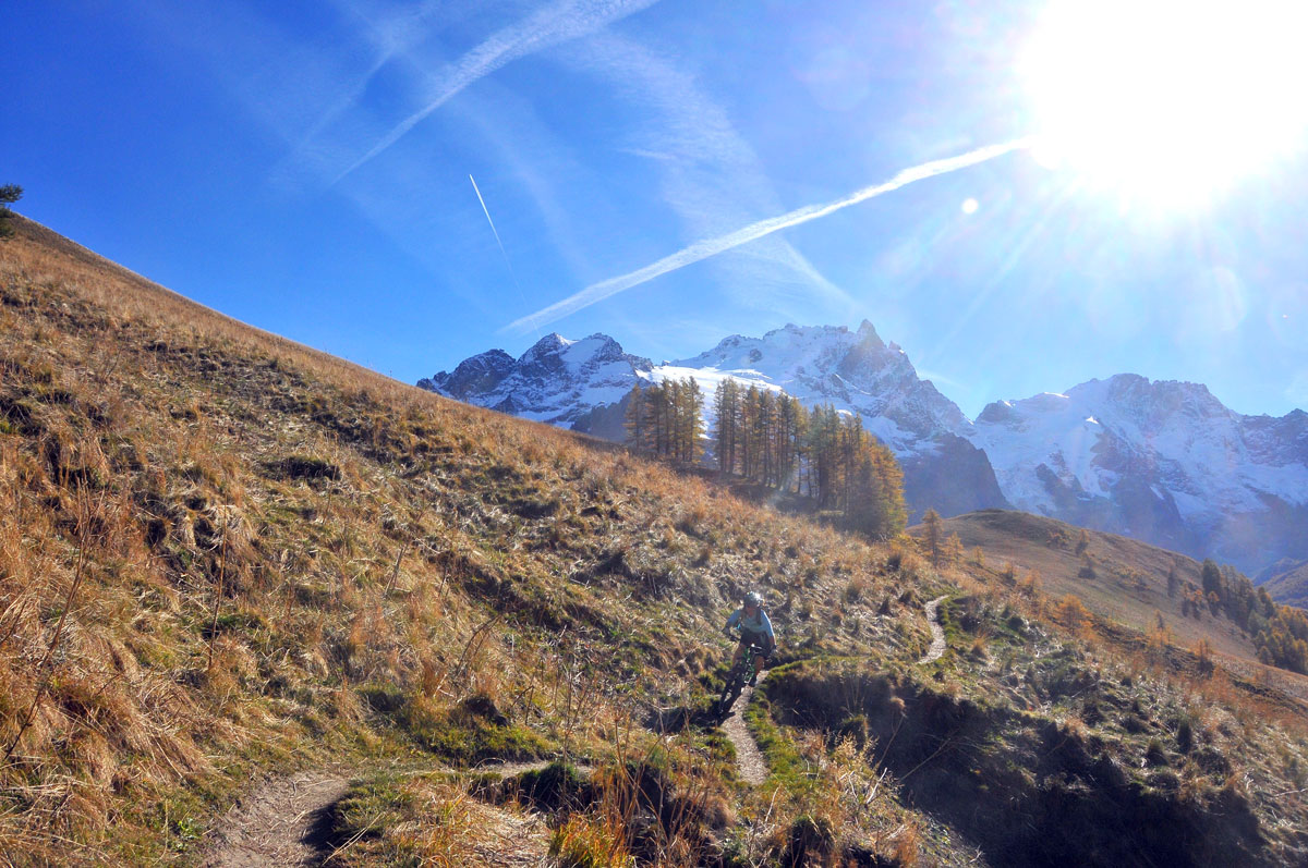
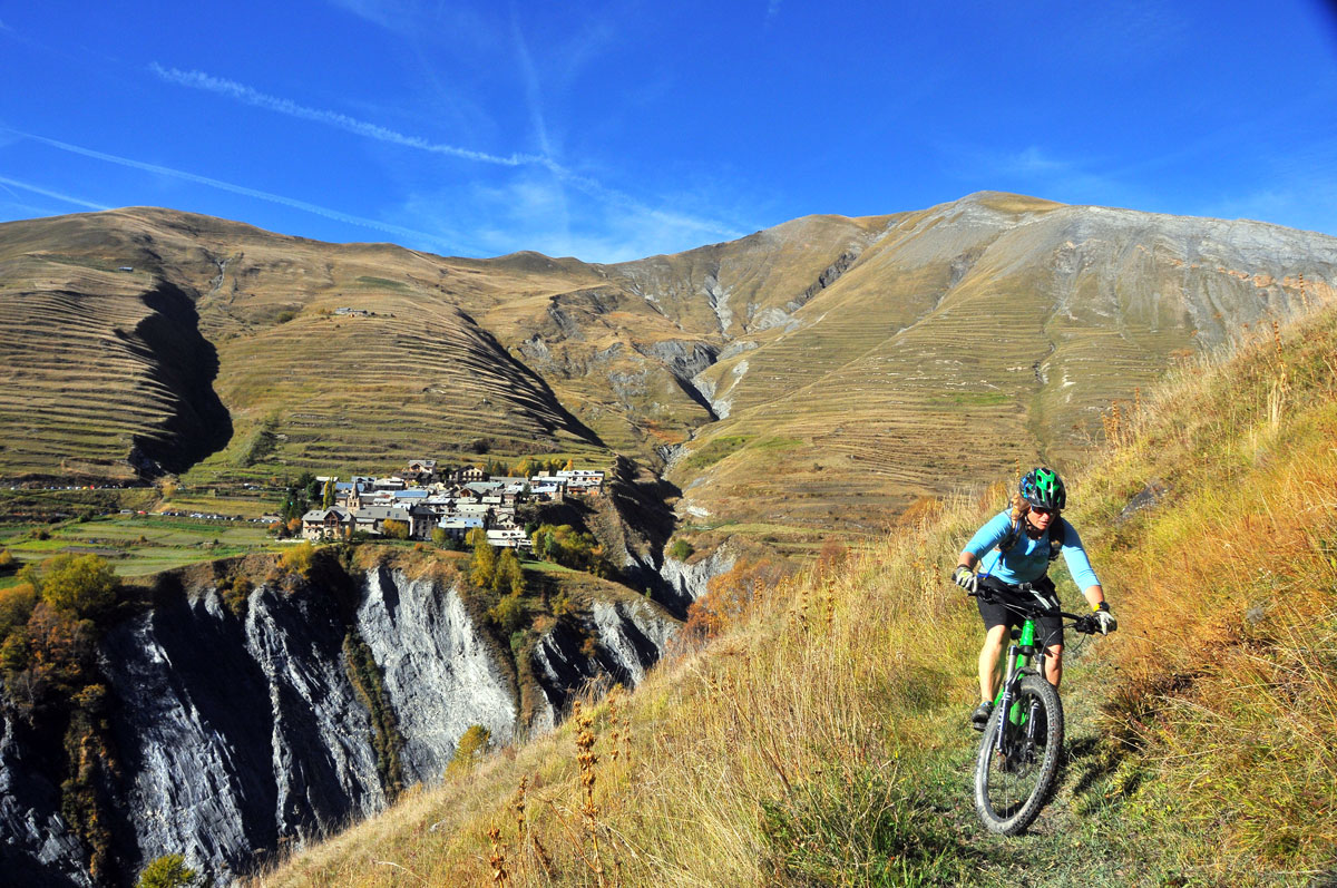
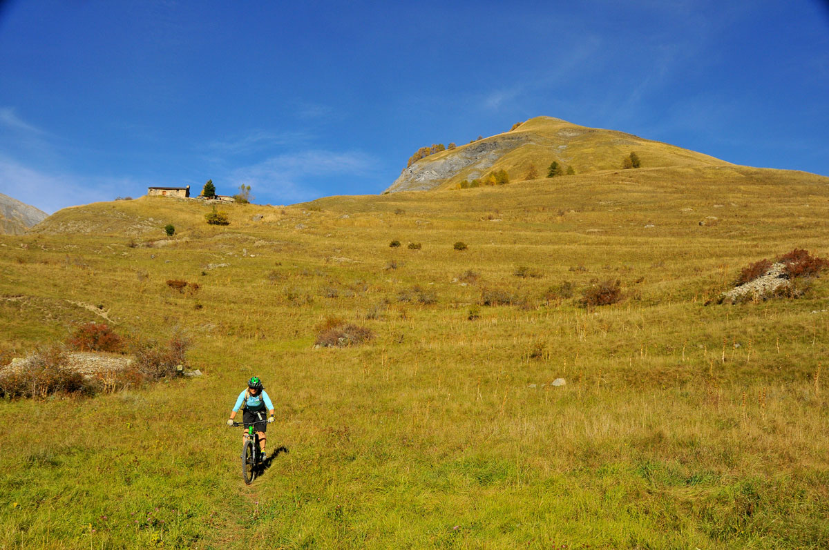
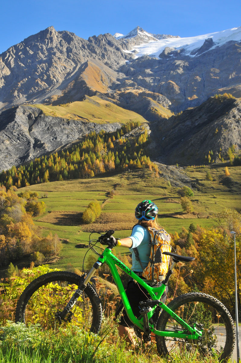
A lovely half-day ride, offering fabulous views from the south-facing valley over the mountains of La Meije and Les Agneaux and magnificent single tracks.
About : L’Aiguillon
Route in the "MTB in Oisans" guide (Oisans Tourisme)
Departure / Arrival (loop): Villar d'Arène 1 640 m
Time: 2h30
Distance: 14 km
Highest point: 2 052 m
Lowest point: 1 472 m
Total ascent: 616 m
Total descent: - 616 m
Technique: 2/4
Endurance: 2/4
Map: Top 25 IGN 3435 ET Valloire
ROUTE
> Starting at Villar d’Arène, this route is signposted FFC no. 4 L’Aiguillon. Cross Villar d’Arène and ride to Le Pied du Col on a small road. Once at the hamlet, turn off up to the left towards Les Cours on a path that takes you up to the D1091. From the D1091, turn right for 250 m and then take a path off to the left that leads up to Les Cours.
> At the entrance to the hamlet, turn right onto the path that goes above the road, before rejoining the small road that leads to the Chardoucier car park.
> Just before the car park, turn off up to the left to L’Aiguillon (2052 m) on a balcony path. You’ll probably need to push the last few metres.
> From the summit of L’Aiguillon, go down to the right towards Valfroide. At the end of the valley, turn left up a very pleasant path to Puy Golèfre.
> From Puy Golèfre, go down a somewhat technical path to the D1091.
> Turn right towards La Grave and at the entrance to the village, turn down to the left to the Arboretum (following signs to «Camping La Meije»). At the bottom, cross over the Romanche river and and left up the side of the Ecrins National Park boundary on a technical path until you reach Villar d’Arène.
ALTERNATIVE:
The descent of the Chemin de Côte de la Ville.
From L’Aiguillon, take the «Chemin de Côte de la Ville», which leads directly to Villar d’Arène. This is a technical ride, featuring tight switchbacks on a very narrow path.
Only for experienced bikers!
---
Time: 20 mins.
Distance: 3.5 km
Total ascent: 41 m
Total descent: -462 m
Technique: 4/4
Endurance: 1/4
En bref
2 h 30
J+ : 616 m
14 km
Level red – hard
Map and GPX marking
L’Aiguillon
Villar-d'Arêne
Opening
From 01/05 to 15/11.
Subject to snow conditions.
Prices
Free access.
Location supplement
Leave your car in the car park at the entrance to Villar d'Arène.