1526805-diaporama
3914465-diaporama
3914466-diaporama
3914467-diaporama

3914468-diaporama
3914469-diaporama
3914470-diaporama
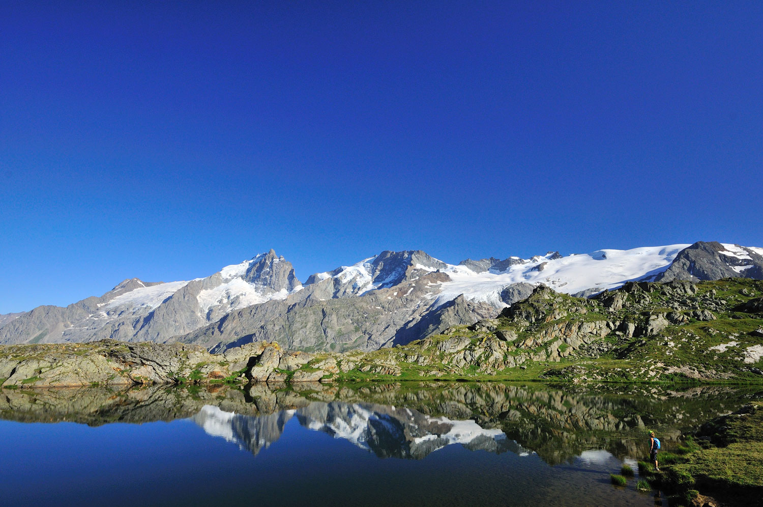
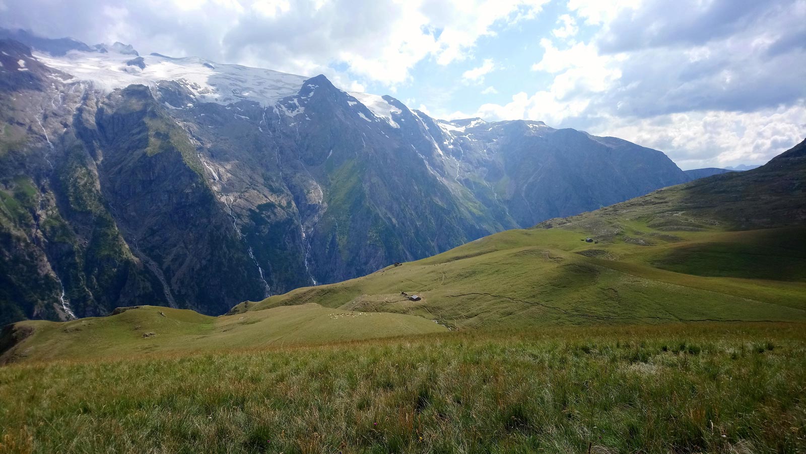
A lovely circular ride that is more physically than technically demanding, around an iconic Oisans feature. The ride up to the Lac Noir and Lac Lérié provide unforgettable views of La Meije and its glaciers, before riding back down to Le Chazelet on a fine single track.
About : The tour of the Emparis Plateau via the lakes
Please note: this site has been awarded the Natura 2000 label and is subject to numerous measures to preserve its biodiversity. We invite you to adopt the right reflexes when you come to protect this sensitive area.
Itinerary from the "VTT en Oisans" guide (Oisans Tourisme)
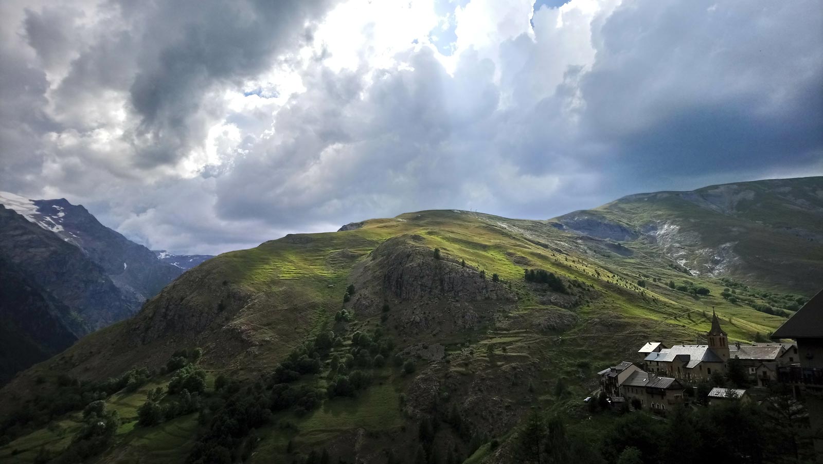
Start/finish (loop) : Le Chazelet 1,772 m
Duration : 4 h 30
Distance: 27 km
Highest point: 2,458 m
Lowest point: 1,747 m
Elevation gain: 922 m
Negative altitude difference: - 922 m
Technical: 3/4
Endurance: 4/4
Map: IGN Top 25 Valloire 3435 ET and Meije Pelvoux 3436 ET.
ITINERARY
> This route from Le Chazelet is marked FFC (n°4 - Le tour du plateau d'Emparis par les lacs).
> The trail starts at the bottom of the village. Head towards the La Buffe valley.
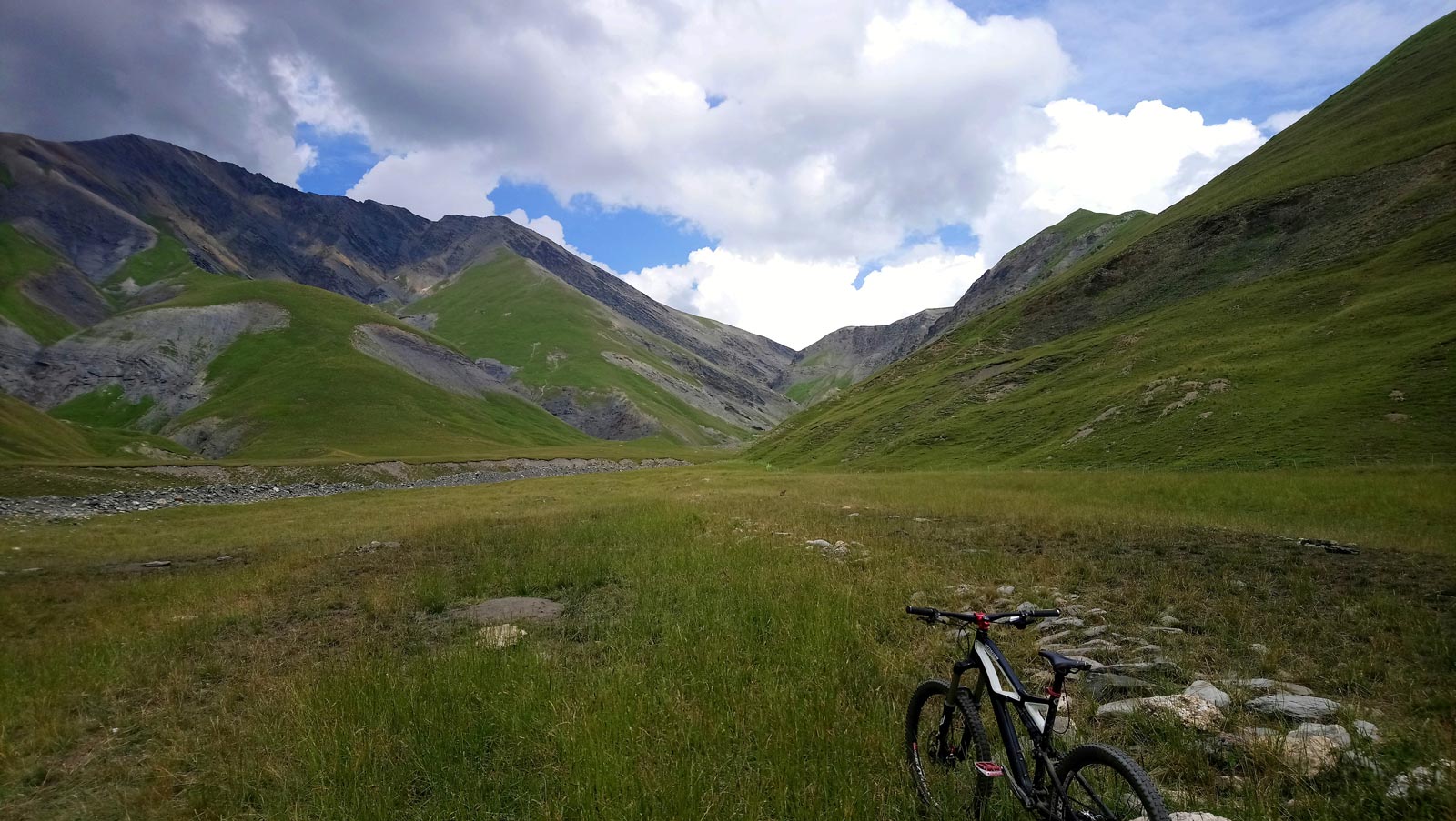
> At the hamlet of Le Vorze, turn right towards the hamlets of Le Rivet. Follow the path on the left bank of the torrent du Gâ, gradually climbing up to the "Baraque de la Buffe".
> Arriving at Baraque de la Buffe (2005 m), cross the torrent du Gâ at the ford. Reach the Emparis plateau by alternating pedaling and pushing for 270 m of D+. Follow the left-hand path over the Rachas stream.
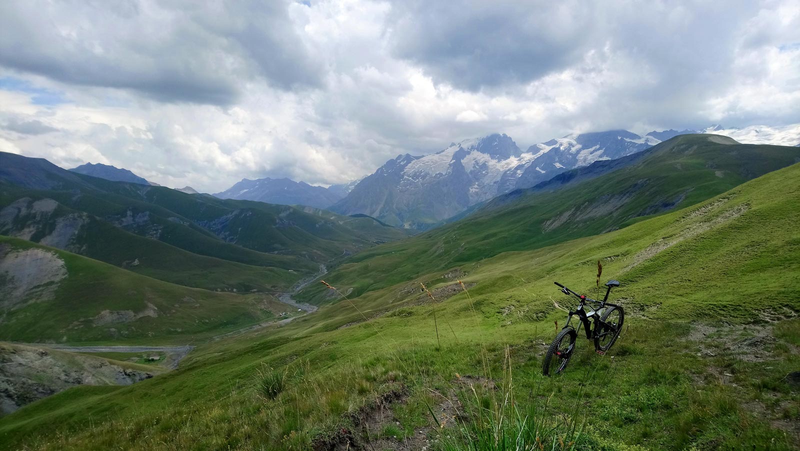
> At the plateau d'Emparis (2270 m), descend to the Col St-Georges. Follow the track for 100 m, then descend to the left to reach the Rif Tort stream. Cross the ford and continue on the GR 54 towards the Col du Souchet.
> At Col du Souchet (2365 m), turn right towards Lac Noir and then Lac Lérié. The glaciers of La Meije now seem within reach.
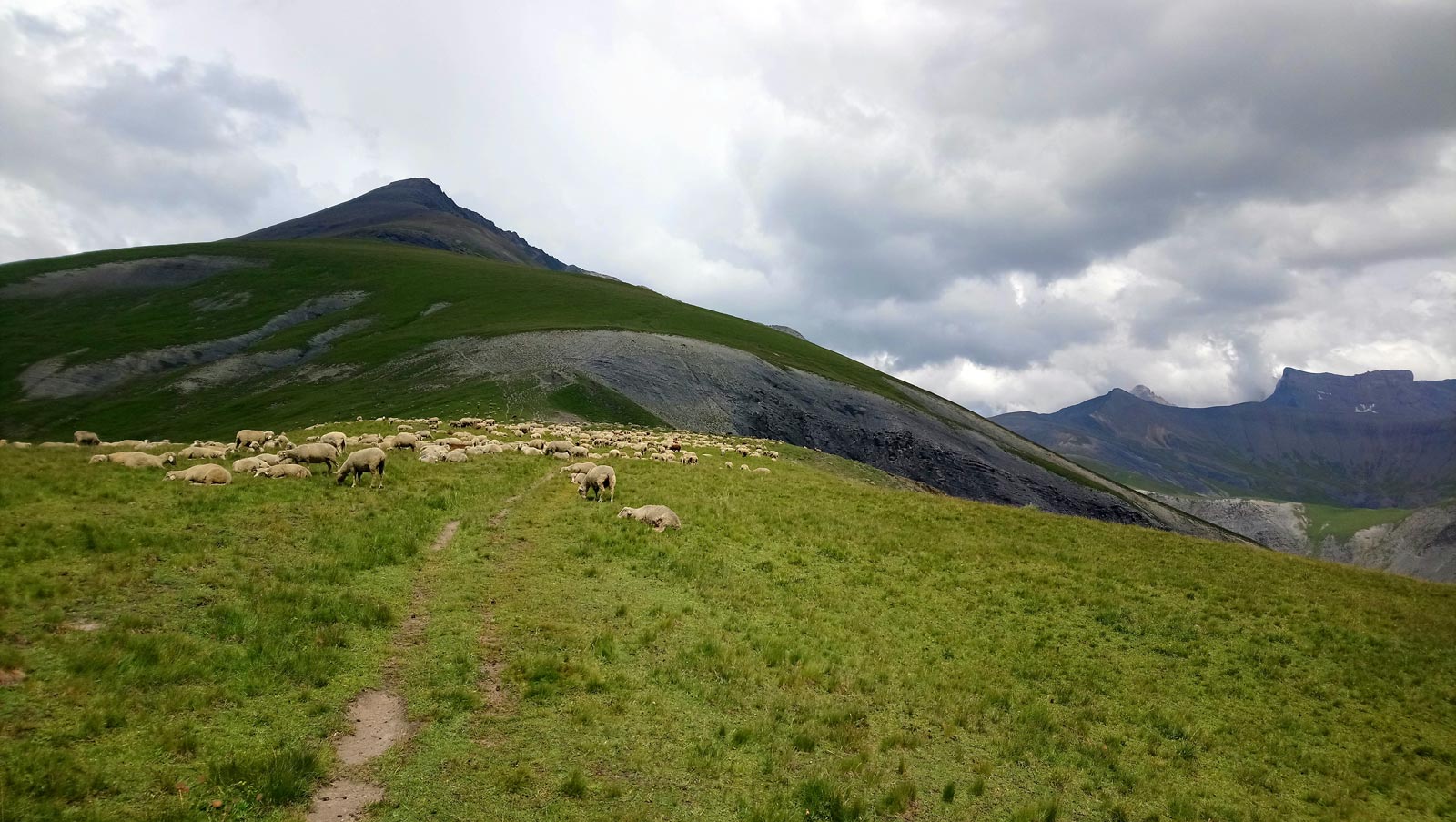
> We return to the Col du Souchet to begin the descent to Le Chazelet. The first section on the GR is fairly fast. Near the Chazelet ski lift, turn left towards "Le Clot Raffin" for a more technical descent to the torrent du Gâ.
> Cross over to return to Le Chazelet.
Welcome: X country :
The flagship MTB discipline and an Olympic sport since Atlanta in ‘96. Cross-country is traditionally enjoyed on terrain that is not too rough, on lighter bikes with fork suspension of between 100 and 130 mm and tyres of between 1.8 and 2 inches at the most. In Oisans, the steep terrain and significant height differences make this style less popular than its sister style, enduro. There are however some trails in the valleys that are accessible to everyone, as well as some that are slightly more challenging that we have classified as midway between X country and enduro.
En bref
4 h 30
J+ : 922 m
27 km
Level black - very hard
Map and GPX marking
The tour of the Emparis Plateau via the lakes
La Grave
Services
Tours
- Average duration of the individual tour: 270 minutes
Download
Opening
From 01/06 to 31/10.
Subject to snow conditions.
Prices
Free access.
This service provider also offers


Location supplement
On the road to Briançon, drive through La Grave and turn right just after the tunnel, signposted Le Chazelet. Park your car in Le Chazelet.