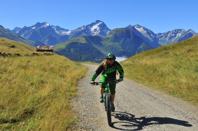
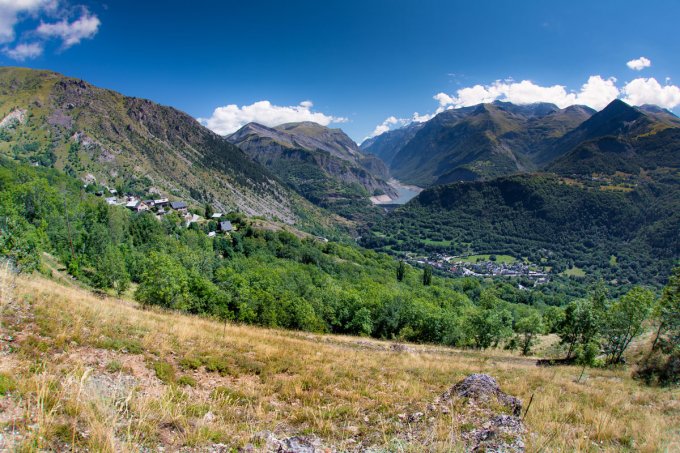
The lovely classic XC route goes round the Signal de l’Homme and the Croix de Cassini and along the valleys of the Sarenne, Ferrand and Romanche rivers. The return trail on the south-facing Auris side will show you the «Mediterranean» side of Oisans.
About : The Auris balcony paths
Route in the “MTB in Oisans” guide (Oisans Tourisme)
Departure / Arrival (loop): Auris-en-Oisans (resort) 1 600 m
Length: 4 1/2 hours
Distance: 29 km
Highest point: 1 999 m
Lowest point: 1 226 m
Total ascent: 940 m
Total descent: - 940 m
Technique: 2/4
Endurance: 4/4
Map: Top 25 Bourg d'Oisans et l'Alpe d'Huez 3335 ET
ROUTE
> From the car park in Auris-en-Oisans, follow the path to the Col de Maronne. Once at the col, carry on along a clearly marked 4-wheel drive track, which will take you up to the Col to Cluy.
> Next, descend to the left to the Pont des Envers bridge (but don’t cross it) and follow the left bank of the Sarenne to the Col de Sarenne.
> Ride down from the col to Le Perron. There is a path on the right to avoid riding a part on the road. Follow signs to Clavans-le-Haut and then Clavans-le-Bas on
the GR 54.
> In Clavans-le-Bas, stop off for some homemade blueberry tart before the climb up to Auris.
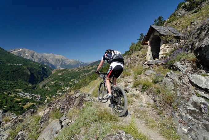
> From Clavans, follow the road towards Mizoën and 200 m after the junction of the road to Besse, take a path off to the right, signposted «Oratoire du Follet / Puy-le-Bas». This spectacular section is quite technical and physically demanding. The path winds its way pleasantly through cool woodland, before emerging into full light onto the panoramic path that leads to the oratory of Le Follet.
> Shortly after the oratory, take a right-hand path up towards «Puy-le-Haut / Puy-le-Bas». Take care on this path made up of loose stones. From Puy-le-Bas, carry along the road to Puy-le-Haut. Before arriving in Puy-le-Haut, take a left-hand path signposted La Croix de Trevoux, then continue upwards to the hamlet of Les Cours. On this South facing slope, the vegetation changes, making you feel more like you’re in the south.
> From Les Cours, ride to Auris on the road. At la Chapelle St-Giraud, you have the option of taking the small waymarked path (XC 4), which will take you up
Auris above the road.
En bref
4 h 30
J+ : 940 m
29 km
Level black - very hard
Map and GPX marking
The Auris balcony paths
Auris-en-Oisans
Services
Tours
- Average duration of the individual tour: 270 minutes
Opening
From 01/05 to 31/10.
Subject to favorable snow and weather conditions.
Prices
Free access.
This service provider also offers
Location supplement
Leave your car in the Auris en Oisans car park.


