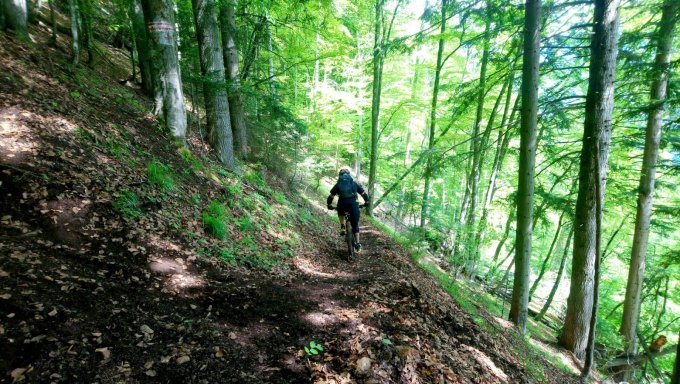
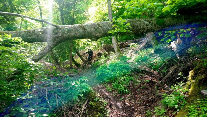
84 switchbacks and 700m of height loss over 2.5 km. These three figures sum up this descent, which is one of the finest in the Oisans region. One bend leads immediately to another. Starting in Oulles, the track winds its way through the heart of an ancient beech wood.
About : The Malaine track
Route in the “MTB in Oisans” guide (Oisans Tourisme)
Departure: Oulles 1400 m
Arrival: La Paute 720 m
Time: 25 min.
Distance: 6 km
Highest point: 1417 m
Lowest point: 720 m
Total ascent: 30 m
Total descent: -700 m
Technique: 3/4
Endurance: 2/4
Map: Top 25 Grenoble 3335 OT
ROUTE
> From Oulles, follow signs for ‘La Malaine, plaine du Bourg’ and ride to Le Piret (1401 m) next to an electricity pylon.
> You’re now all set for the La Malaine descent!
> You immediately plunge into a thick forest of beech trees (remember to take clear glasses for the dark woods) on a narrow, fast path, running alongside the mountain. Take care on the traverses as it’s easy to gather speed and you never know what is hidden under the leaves (stones, roots, branches, etc.).
> The descent then begins, with a rapid succession of switchbacks... so long as you have the skills, it will all be alright!
> The route finishes on a fast, straight section that comes out onto a track. Turn right for an easy ride back to the hamlet of La Paute.
En bref
0 h 25
J+ : 30 m
6 km
Level red – hard
Map and GPX marking
The Malaine track
Oulles
Services
Tours
- Average duration of the individual tour: 25 minutes
Opening
From 01/06 to 31/10.
Subject to favorable snow and weather conditions.
Prices
Free access.
Location supplement
From Le Bourg-d’Oisans, take the D1091 towards Grenoble and then the Col d'Ornon. After 1.5 km, turn right onto the road for Oulles. By car, this takes around 20 minutes and you can park at the exit to the village.
Another option involves leaving the car at La Paute (the junction of the D1091 and the D526) and cycling the 8km up to stretch your legs a bit. This road is as quiet as a rural track and the scenery is magnificent.


