The hamlets of La Grave
The hamlets of La Grave
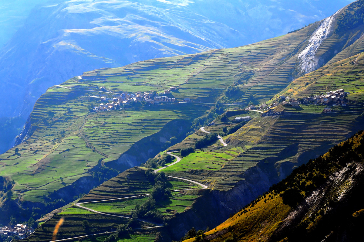
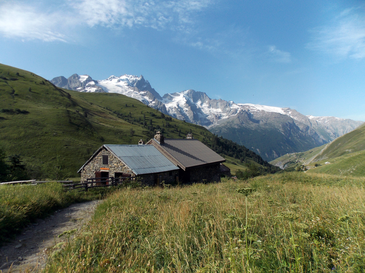
This itinerary that leads you to discover La Grave and its authentic hamlets is without any major difficulty. Along this small and balcony road, the view is stunning! You will have a front seat to admire La Meije and its glaciers.
About : The hamlets of La Grave
This route is available in the "Cyclo en Oisans" guide (Oisans Tourisme).
Start / Finish : Le Bourg-d'Oisans 720 m
Duration : 5 h
Distance (return): 72 km
Maximum altitude: 1823 m
Minimum altitude: 720 m
Vertical drop: 1981 m
Maximum gradient: 9%.
Cartography: Michelin Carte Département Isère, Savoie n° 333
ITINERARY
From Bourg-d'Oisans, head for "Briançon / Les 2 Alpes" on the D1091 as far as the Chambon dam. You'll pass through 4 lighted tunnels on this stretch; for your own safety, make sure you're visible.
At the dam, continue towards "Briançon / La Grave" (more tunnels await you).
At La Grave, drive through the village and pass through the "Serre du Coin" tunnel. Immediately after exiting the tunnel, turn right towards "Ventelon / Les Terrasses / Les Hières". You climb up above La Grave on a small balcony road facing La Meije.
When you reach Ventelon, turn right in the direction of Les Hières. At the end of the road, make a U-turn and continue towards Les Terrasses, then Le Chazelet.
If La Grave and its hamlets hold no more secrets for you, you can take the same road back down to Bourg d'Oisans.
En bref
5 h 00
J+ : 1981 m
72 km
Level red – hard
Map and GPX marking
The hamlets of La Grave
Le Bourg-d'Oisans
Services
Activities
- Duration of the session: 300 minutes
Tours
- Average duration of the individual tour: 300 minutes
Opening
From 05/01 to 10/31 : open daily.