790532-diaporama

790528-diaporama

790530-diaporama
790529-diaporama
790531-diaporama
790533-diaporama

790534-diaporama
1528683-diaporama

1528684-diaporama
1528685-diaporama
A demanding round trip from Besse to explore the Ferrand valley. The single track descent is magnificent, the surroundings superb and untamed. This day’s ride will stay in your memory for a long time!
About : The Col de la Valette from Besse
Route in the “MTB in Oisans” guide (Oisans Tourisme)
Departure/Arrival (loop): Besse 1550 m
Length: 5 hours
Distance: 30 km
Highest point: 2466 m
Lowest point: 1292 m
Total height gain: +1336 m
Total height loss: -1354 m
Technique: 3/4
Endurance: 4/4
Map: Top 25 Bourg d'Oisans et l'Alpe d'Huez 3335 ET
ROUTE
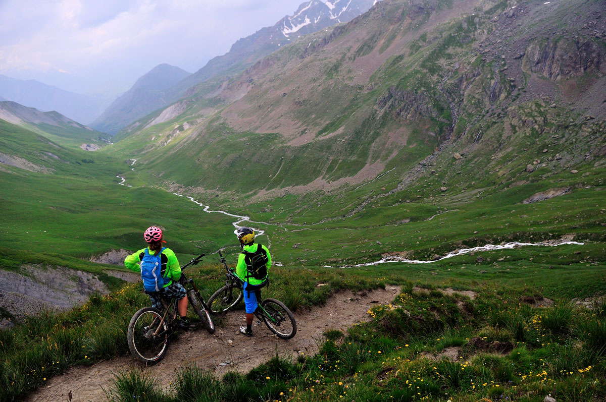
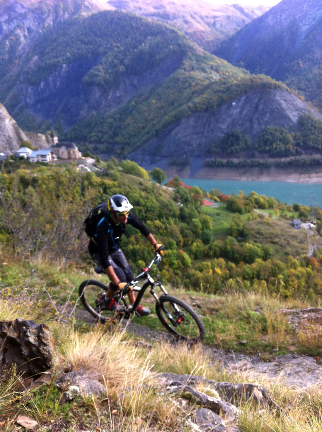
> From the car park in Besse, ride up the track towards “Bonnefin” and the St-Sebastien oratory. Once at the oratory, pass over to the other side of the mountain and carry on up to the Col de la Valette (2291 m) along the side of the mountain. At Pont de Laval, you have the option of crossing over and continuing the route on the other side, which is sunnier in the morning and drier.
> At the end of the Valette stream, turn to the left, up to the chalets of la Valette.
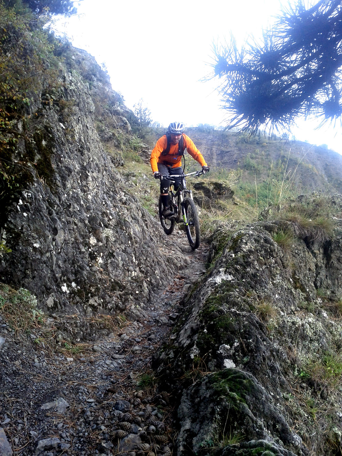
> Continue up, following signs for «Col du Fond Ferrand / Echine de Praouat» (2466 m), taking you over into the Ferrand valley. You will have to carry your bike up the last very steep and narrow path.
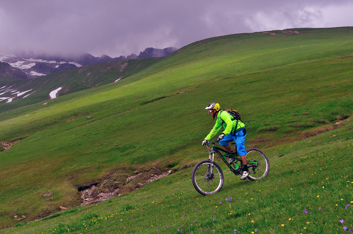
> Once at the Col, there are 2 ways down: either follow the path, although it may be too rutted for a comfortable ride down. Or go freeride, having fun on the slopes and riding by sight down the long grassy slope. In all cases, you need to aim for the bottom of the valley.
> On reaching the ruins of the Chalets des Quirlies, follow the path along the valley bottom to Pont Ferrand. Carry on through Le Perron, Clavans-le-Haut and
Clavans-le-Bas. Before riding back up to Besse, stop off for some homemade blueberry tart at the Auberge du Savel to recharge your batteries.
> From Clavans, ride down to Le Moulin de Besse and then ride the final 3 km back to Besse along the tarmac road.
-------------
IF YOU WANT MORE:
Le Freney via the Oratoire du Follet.
Would you like a little more descent to stretch out the fun? From Clavans, continue on the road to Mizoën.
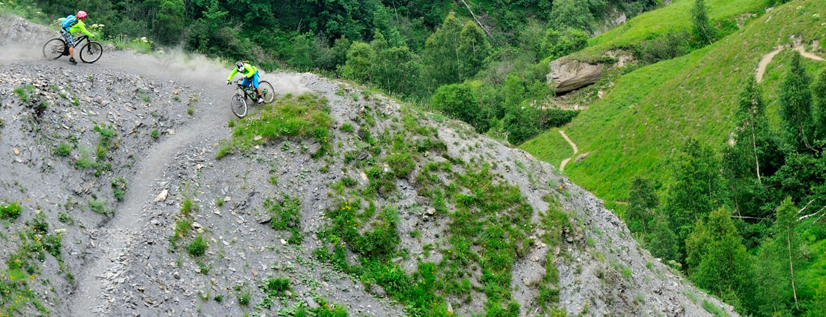
After 600m, turn right up the small path towards “Oratoire du Follet / Puy-le-Bas”. Carry on after the oratory, turn left down to Le Freney. Follow the path to the centre of the village. The track down is fast and has loose stones.
Leave a car in Le Freney to return to Besse.
Length: 30 mins
Distance: 4.2 km
Highest point: 1360 m
Lowest point: 935 m
Total height gain: +65 m
Total height loss: -493 m
Technique: 3/4
Endurance: 2/4
En bref
5 h 00
J+ : 1336 m
30 km
Level black - very hard
Map and GPX marking
The Col de la Valette from Besse
Besse-en-Oisans
Opening
From 01/06 to 31/10.
Subject to favorable snow and weather conditions.
Prices
Free access.
Location supplement
A circular route starting from Besse. Leave your car at the car park on the far side of the village.
To get to Besse from Bourg d’Oisans, take the D1091 towards Les 2 Alpes and turn left just after the Chambon dam on the road signposted Mizoën and then Besse.